
Atlas Storymaps
Bring maps, data, and ideas together in interactive stories about our world.
Try it now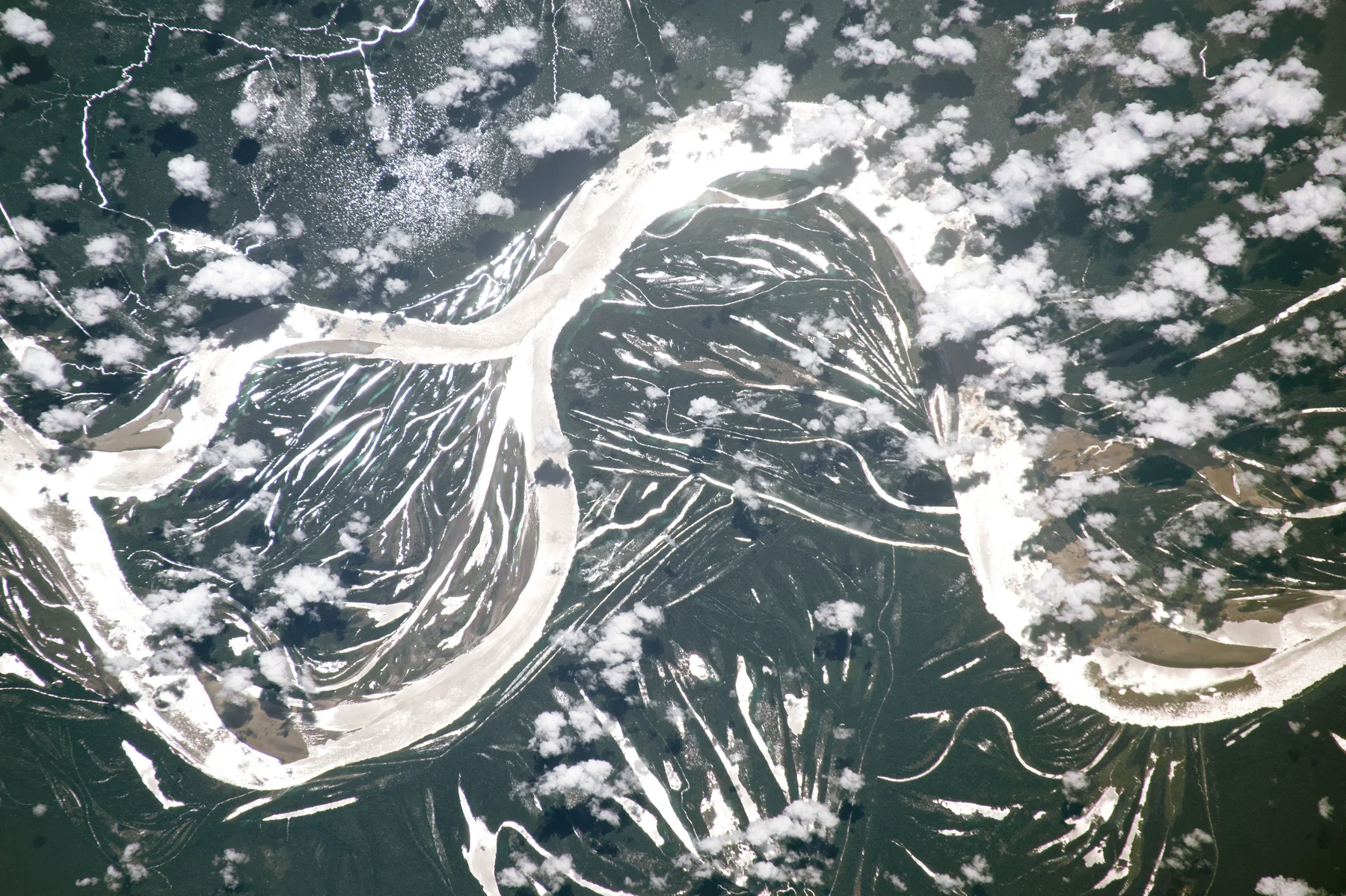
Bring maps, data, and ideas together in interactive stories about our world.
Try it now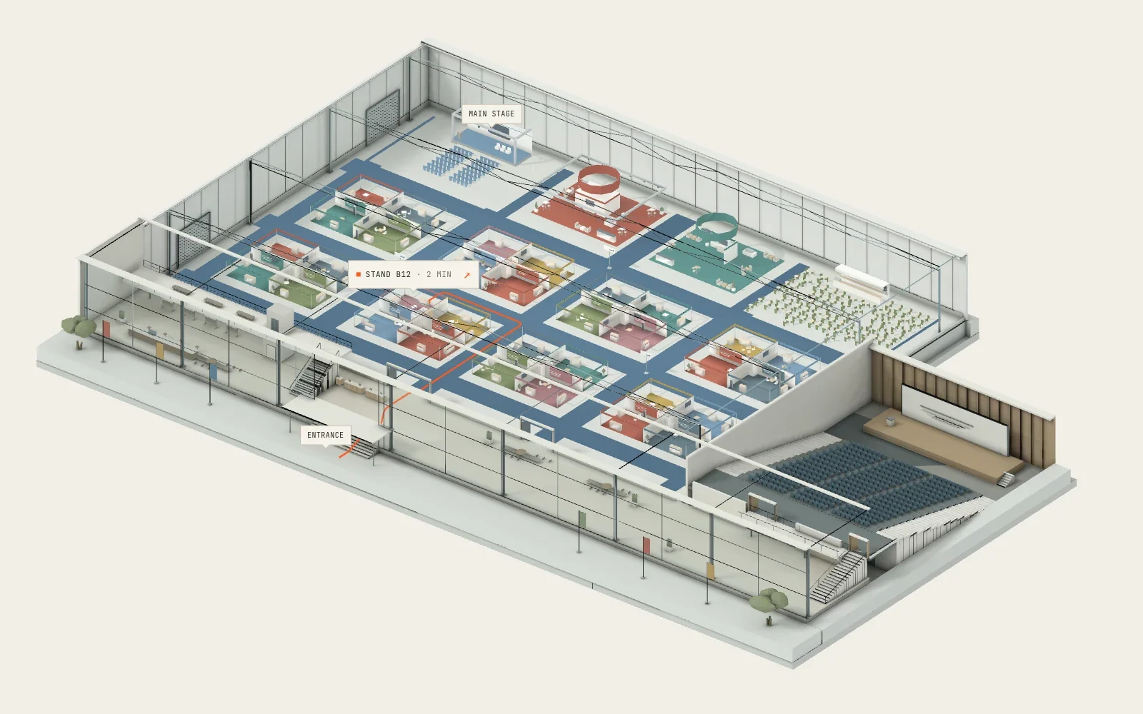
Interactive indoor maps for exhibition and conference venues, ready to explore from a link.
Try it now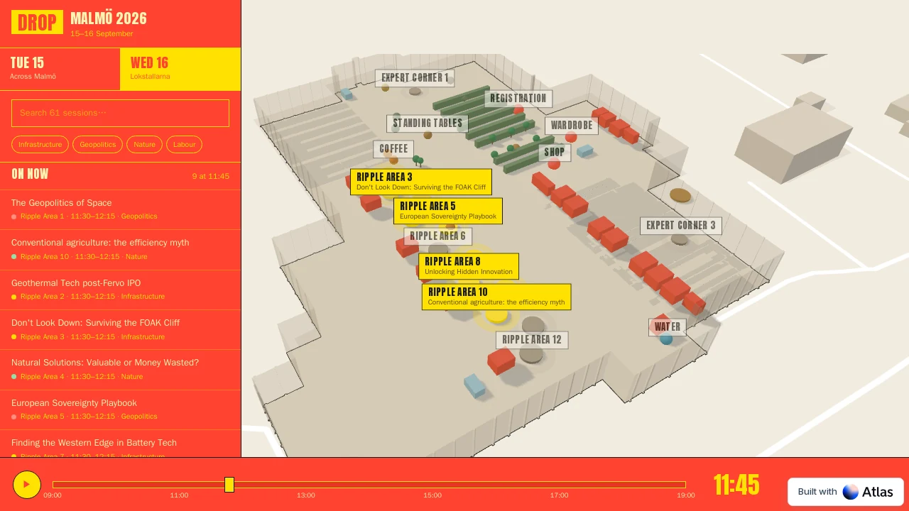

Find public geospatial data from thousands of open-data catalogs and bring it into your Atlas map.
Try it now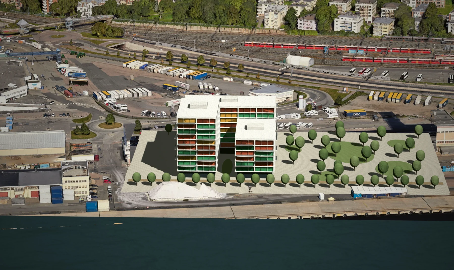
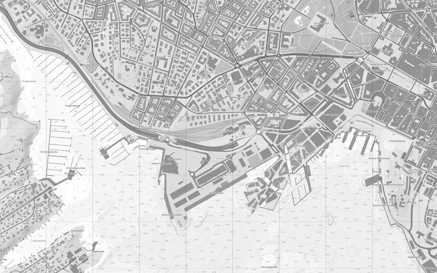
Explore Norway through open maps, address search, property information, and elevation data.
Try it now Atlas access
Turn Norwegian planning provisions into structured, reviewable data with references to the original source.
Explore the tool Prototype
Try a guided building-application workflow. A prototype for learning and preparation; nothing is sent to a municipality.
Try it now
Find planning proposals, zoning plans, and consultations in Norwegian municipalities.
Try it now Prototype
Try a photo-and-location workflow for reporting public-space faults. Submissions are a dry run, with no municipal delivery.
Try it now Prototype
Explore a map-based workflow for reviewing municipal zoning plans, evidence, and next steps.
Try it now
Explore geospatial services built on Norwegian open-data sources, with a documented API.
Explore the API
13 experiments. Showing Atlas Storymaps.
New perspectives start with a little curiosity. Explore our latest experiments, try something different, and help shape what we build next.
Create maps and explore your data with Atlas Cloud.